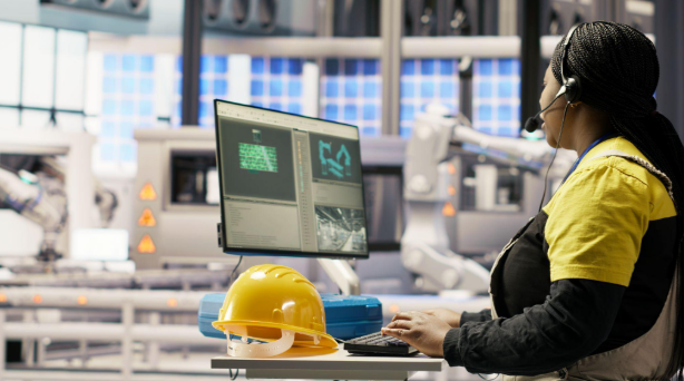
Modern construction projects depend on precision at every stage, yet physical sites are constantly changing. Structures rise, services move into position, and design decisions evolve as work progresses. In this environment, accurate information is essential for controlling quality, coordination, and project risk. Advanced scanning technology helps construction teams capture existing conditions in detailed digital formats, giving professionals a stronger foundation for informed decisions. For projects where conventional measurements may not provide enough detail, scanning services in Dubai can transform complex physical spaces into reliable datasets that support planning, verification, and documentation.
Turning Physical Spaces into Reliable Digital Data
Traditional surveying methods remain valuable, but large or complicated construction environments can make repeated manual measurements time-consuming. Laser scanning introduces a different approach by capturing thousands or millions of spatial points across visible surfaces. These points can be processed into a point cloud representing the geometry of the surveyed area.
Instead of relying only on isolated measurements, project teams can review a broader digital record of walls, columns, ceilings, equipment, ducts, pipes, and other visible elements. It is particularly useful for existing buildings, industrial environments, refurbishment projects, and complex structures. The result is a measurable reference for drawings, models, comparisons, and as-built documentation.
Improving Measurement Accuracy and Consistency
Accuracy is one of the strongest reasons construction professionals are adopting advanced scanning methods. Manual measurements can be affected by difficult access, human error, incomplete records, or limitations in capturing irregular geometry. Scanning systems can collect dense spatial information across an area in a structured and repeatable manner.
Professional survey judgement remains important because equipment selection, positioning, registration, control, and processing influence the final output. A detailed digital record gives architects, engineers, and contractors a common reference for reviewing conditions and verifying installations. This shared reference can reduce uncertainty and improve communication.
Supporting Better Design and Construction Coordination
Construction errors are often connected to differences between what was expected and what exists physically. A wall may differ from an old drawing, a service may occupy more space than anticipated, or an installation may affect another discipline’s planned work. Three-dimensional scanning helps identify differences earlier. Point clouds can be compared with design models to highlight discrepancies and support coordination before problems become expensive. During renovation work, an accurate scan of an existing building can give designers a measured starting point. They can therefore work with current spatial information, which is valuable for older properties with undocumented modifications.
Making As-Built Documentation More Valuable
As-built records provide important information about what was actually completed. However, producing dependable records can be difficult when documentation depends heavily on scattered notes, photographs, or manual measurements. Scanning provides a comprehensive way to document completed spaces. It can preserve the location and geometry of visible elements at a particular project stage. It can support measured drawings, models, facility records, and future planning. Repeat scanning can record progress at different stages, preserving evidence before completed areas become inaccessible.
Reducing Rework and Unnecessary Site Visits
Construction teams often need to revisit areas to confirm dimensions or investigate conditions that were not recorded sufficiently the first time. These visits consume time and may be difficult when spaces are occupied, restricted, elevated, or surrounded by active work. A detailed scan can reduce the need for repeated physical measurements by retaining a digital record that teams can review later. Designers and engineers can review the information without returning to the site for every question. This is valuable on large projects where many specialists work across different areas. Better access to reliable site information can support faster coordination while reducing avoidable disruption.
Supporting BIM, GIS, and Digital Workflows
Modern construction increasingly depends on connected digital processes. Scanned point clouds can provide valuable input for Building Information Modelling, spatial analysis, and other digital workflows when captured and processed according to project requirements.
The benefit is strongest when field data and final deliverables are planned together, with equipment and capture methods selected around project needs.
This helps ensure the dataset remains useful rather than unnecessarily large. The right combination of accuracy, coverage, point density, and output format can make digital information easier to integrate into existing workflows.
Choosing Technology According to Project Requirements
Not every construction site requires the same scanning setup. Project scale, surface characteristics, access, required accuracy, level of detail, and final deliverables should influence technology selection. Terrestrial laser scanners can be effective for detailed building interiors and complex structures, while larger sites may benefit from complementary technologies. GNSS, robotic total stations, and UAV-based systems can provide additional information where integrated surveying is required. Professional planning is as important as equipment. Teams must consider line of sight, reflective surfaces, moving objects, lighting, registration, and control points to achieve consistent data.
Extending Value Across the Construction Lifecycle
Another advantage of advanced scanning is its usefulness beyond a single project stage. Before construction, it can document existing conditions and support design development. During construction, repeated capture can help teams monitor changes and verify completed work. After completion, the data can contribute to as-built records and future facility planning.
This lifecycle approach turns scanning from a one-time measurement exercise into a broader information resource. Digital records can support maintenance, renovations, upgrades, and future coordination.
Conclusion
As construction becomes more complex, reliable information is becoming one of the most valuable project resources. Advanced scanning technology gives professionals a practical way to capture detailed physical conditions and convert them into digital information that can be measured, reviewed, compared, and retained. For organisations seeking dependable results, choosing an experienced provider is equally important. Lyca Survey focuses on detailed three-dimensional capture for construction, engineering, architecture, and facility-related requirements, with outputs designed to support planning, verification, modelling, and documentation. The firm also combines scanning with broader surveying methods when integrated site information is required.
Ultimately, the success of digital capture depends on more than sophisticated equipment; it requires appropriate planning, skilled fieldwork, and clear deliverables. When these elements work together, site surveying becomes a stronger foundation for accurate construction decisions. By adopting advanced scanning thoughtfully, project teams can improve coordination, reduce uncertainty, preserve reliable records, and move from assumptions toward measurable reality.




Most Commented Posts